Where and how high
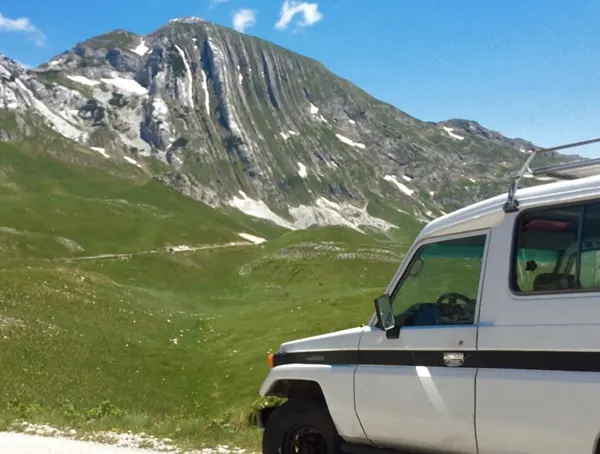
The range straddles Montenegro, Albania and Kosovo. In English it is sometimes called the Accursed Mountains, in Albanian the Bjeshkët e Nemuna. Montenegro's share includes Zla Kolata at 2,534 metres, the country's highest point — higher than Bobotov Kuk in Durmitor, and climbed by a fraction as many people.
| Park area | About 16,600 hectares |
| Highest point | Zla Kolata, 2,534 m |
| Main valleys | Grbaja and Ropojana |
| Base towns | Plav and Gusinje |
| From Podgorica | About 2 h 30 |
| Season | Late June to September |
| Park entry | €2 – €5 |
The two valleys
Grbaja is the one people photograph — a flat-floored glacial valley with vertical walls on both sides, a mountain hut at the head of it, and walking that starts easy and gets serious. It is about fifteen minutes from Gusinje on a paved road.
Ropojana runs towards the Albanian border past the Ali Pasha springs, and is the route to Zla Kolata and to the crossing into Theth in Albania. Wilder, longer, and where the border question arises.
The border permit
This is the thing that keeps the park empty. Several of the best routes cross or run along the frontier with Albania and Kosovo, and walking them legally requires a border-zone permit arranged in advance through the park authority or the police in Plav.
- It typically needs several days' notice and your passport details
- It is usually free or costs a nominal fee
- The Peaks of the Balkans trail — the multi-day route linking all three countries — requires it as a matter of course
- Local guides and guesthouses in Plav and Gusinje arrange it routinely
Peaks of the Balkans
A 192-kilometre circular trail through Montenegro, Albania and Kosovo, walked in about ten days, staying in village guesthouses. It is the reason most foreign walkers come to this corner, and it has done more for the local economy than anything else in decades.
It is a serious undertaking with real ascent and remote sections, and it is also the best organised trekking in the western Balkans — waymarked, with a permit system and a network of hosts who expect you.
Why it stays quiet
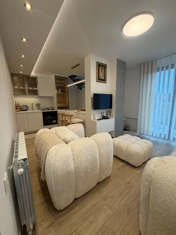
It is two and a half hours from Podgorica down roads that are improving but still slow. There is no ski resort, no lake with a car park, and no coach tours. Accommodation is guesthouses and a couple of small hotels rather than anything resembling a resort.
For some visitors that is a list of drawbacks. For others it is the entire point — this is the emptiest serious mountain country left in this part of Europe.
Practical
- Base in Plav or Gusinje. Guesthouses, €25 – €50 with dinner.
- Take cash. Card acceptance is thin.
- Phone signal is weak and may hop onto an Albanian network — turn off automatic selection.
- Guides are inexpensive and know which routes need permits.
- Weather turns fast at altitude here even in August.