The two winds
| Bura | Jugo | |
|---|---|---|
| Direction | North-east, off the mountains | South-east, off the sea |
| Temperature | Cold and dry | Warm and humid |
| The sea | Flattened, then choppy in gusts | Long swell builds |
| Sky | Usually clear and very sharp | Overcast, often rain |
| Duration | Comes fast, blows hard, ends | Settles in for days |
| Boat trips | Cancelled in strong gusts | Cancelled on the open coast |
The bura arrives suddenly — it can go from calm to whitecaps in twenty minutes — and it drops the sea surface temperature by a degree or two overnight. A run of bura days in late September can end the swimming season a week early.
The jugo is the one that cancels the Blue Cave. It builds swell on the exposed south-western coast of Luštica while the inner bay stays flat, which is why a skipper can look out at a millpond in Herceg Novi and tell you the trip is off.
The wettest place in Europe
Crkvice, in the hills above the Bay of Kotor at about 940 metres, records over four metres of rain a year — among the highest totals anywhere in Europe. The mountains rise straight off the water and force moist air upward, and it falls as rain almost immediately.
For a visitor this means the bay is greener than the rest of the coast, that October and November in Kotor are genuinely wet, and that a grey pouring day in Kotor with sunshine in Budva forty minutes away is entirely normal rather than bad luck.
Why the forecast is unreliable
The country is 13,800 square kilometres and rises from sea level to 2,534 metres. A national forecast averages a Mediterranean coast, an enclosed bay with its own microclimate, and an alpine plateau. It cannot be right about all three.
- Coast: what the forecast usually shows
- Bay of Kotor: wetter, cloudier, more still air
- Podgorica basin: hotter than the coast in summer, often by five degrees
- Durmitor and the north: ten to fifteen degrees cooler, storms building from early afternoon in July and August
Mountain storms
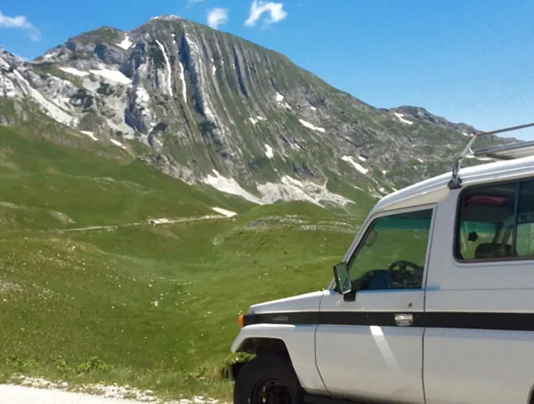
Through July and August, cumulus builds over Durmitor from late morning and turns to thunderstorms from about one in the afternoon. This is reliable enough that walkers plan around it: be off the summit by noon and below the ridge by two.
The storms are short and violent and the morning is usually clear. It is a timing problem rather than a weather problem.
The practical version
- Check the wind, not just the rain, if you have booked a boat
- Cloud in Kotor does not mean cloud in Budva — thirty minutes and it is a different sky
- Do outdoor things in the morning in the mountains, all summer
- October and November on the coast are mild and genuinely wet
- A bura day is the clearest day of the year for photographs — cold, sharp, and you can see Italy from Lovćen