The two ways up
| From Sedlo pass | From Black Lake | |
|---|---|---|
| Distance, return | About 9 km | About 18 km |
| Ascent | Around 900 m | Around 1,300 m |
| Time, return | 5 – 6 h | 8 – 10 h |
| Start altitude | 1,907 m | 1,416 m |
| Character | Direct, rocky, exposed | Long, varied, through the karst basin |
| Needs a car | Yes, to the pass | No, walk from Žabljak |
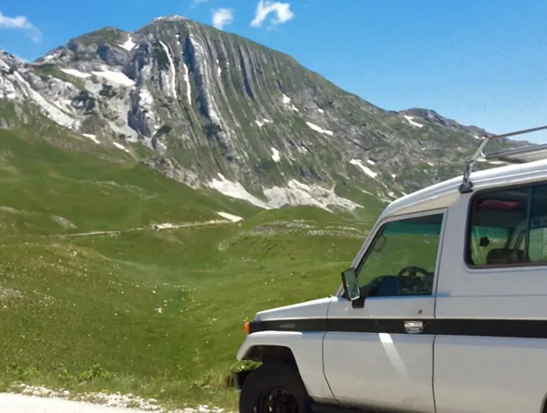
Most people take Sedlo, because starting at 1,907 metres removes five hundred metres of climbing before anything interesting happens. The road to the pass is part of the Durmitor ring and is paved.
The Black Lake route is the better walk and a much bigger day. It goes through Lokvice and up into the amphitheatre of bare limestone, which is the landscape Durmitor is actually about.
The part nobody mentions
The final hundred metres or so is a scramble, not a walk. There is a chain and some cable on the steepest step, the rock is polished by boots, and there is genuine exposure on either side. It is not technical climbing and it does not need a rope, but it needs both hands and a head for heights.
People turn back there every week in summer, having walked four hours to reach it. Knowing in advance is the difference between a decision and a disappointment.
Timing the weather
Thunderstorms build over Durmitor from about one in the afternoon through midsummer. The rule the local guides use is simple: be off the summit by noon and below the ridge by two. That means starting from Sedlo by seven and from Black Lake by five.
Season: snow lies on the upper sections into late June and returns in October. July to mid-September is the reliable window. September is the most settled month.
What to carry
- Two litres of water minimum. There is no water on the route at all — the limestone drains everything underground.
- Boots, not trainers. The scree and the scramble both punish soft soles.
- A windproof layer. It is fifteen degrees colder on top than in Žabljak and the wind is constant.
- A paper map or an offline one. Signal is patchy and the waymarking above the treeline is paint on rock.
- Park ticket, €3, from the booth.
What you see
On a clear day: the whole Durmitor massif, the Tara canyon cut in below, Prokletije and the Albanian Alps to the east, and on the best days a line of the Adriatic to the south-west. That view is why people put up with the last hundred metres.